Ask a Cove resident what trail starts at the lot where Calle Tecate meets Avenida Bermudas, and you'll get two different answers depending on whether they brought the dog. Both are right. That's the problem.
The parking area at the top of the Cove feeds two trails that share almost the same name and nothing else. One is paved, shaded by mesquite, and built for a dog on a leash and a stroller in equal measure. The other shares the first two words of its name, drops the pavement entirely, gains more than 2,000 feet, and posts a flat no on dogs. Hiking sites that track this exact stretch of the Santa Rosa foothills flag the mix-up by name: TrailLink notes the paved route sits "adjacent to the Cove Oasis Trailhead," which "ushers trail users into a much more challenging, dirt hike." A separate hiking guide to the harder route warns outright that "the maps and the trailheads for this hike can be confusing," because there's a paved Bear Creek Trail and an unpaved Bear Creek Oasis Trail, and they are not the same walk.
If you've lived in the Cove for a while, you've probably sorted this out through trial and error, maybe by starting out with a water bottle meant for a thirty-minute stroll and ending up two hours into rock and gravel. The sorting matters more right now than it did in August, because the season that fills this exact parking lot with a very different kind of hiker is about to start.
Two names, two trails
The trail most people mean when they say "Bear Creek" is the Bear Creek Nature Trail, a paved path that runs 4.8 miles along the base of the Southern Santa Rosa Mountains through the Fred Wolff Nature Preserve. It starts near the intersection of Calle Tecate and Avenida Madero at the far end of the Cove, where street parking is easy to find. The grade is gentle, with about 405 feet of elevation gain across the whole route, and it's built for repeat use: shade structures, drinking fountains, and markers identifying desert willow and other native plants along the way. Bikes and leashed dogs are welcome. The City of La Quinta's own parks page describes the same trail running from the corner of Eisenhower and Calle Tampico south to the Fred Wolff Nature Preserve and the Cove Oasis Trailhead, a 4.75-mile path in the city's telling.
Then there's the trail that inherited the name and added a word. The Bear Creek Oasis Trail starts from the same general area but climbs into the Santa Rosa Wilderness, running roughly 9.3 miles out and back with over 2,300 feet of elevation gain. AllTrails rates it a hard route that takes an average of five to six hours to finish, and its own trail notes are blunt about the tradeoff: no shade until you reach the oasis, and no dogs allowed anywhere on the trail. The views are the payoff. On a clear day the route opens up toward the Salton Sea to the east and San Jacinto to the west, a panorama the flat paved trail never delivers because it never climbs high enough to see past the Cove.
Here's where the naming problem becomes a planning problem, not just a curiosity. A hiker who parks expecting the paved loop and instead follows signage onto the Oasis route is now on a five-hour trail with the water and shoes packed for a thirty-minute one. A dog owner who assumes "Bear Creek" means "Bear Creek Nature Trail" and finds themselves on the Oasis route mid-hike has to turn back, because that trail bans dogs outright to protect the terrain and wildlife around it.
What each trail is actually for
The Nature Trail is a daily-use amenity. It's the trail for a morning walk before the heat sets in, a bike ride with kids, or an evening loop with the dog once the sun drops behind the mountains. The Fred Wolff Nature Preserve it runs through was set aside specifically to protect this stretch of desert, and the trail's infrastructure, benches, water fountains, interpretive markers, reflects that it's meant to be used often by people who live nearby, not visited once as a destination hike.
The Oasis Trail is a different kind of trail entirely. It's the one Coachella Valley hiking club members plan around, the kind of route where organizers ask hikers to email ahead, bring more water than seems reasonable, and expect five to six hours from trailhead to return. It rewards effort with a high vantage point over the entire valley floor, but it isn't a trail you stumble into by accident on a whim before dinner. The distance and the exposure make it a trail you choose on purpose, ideally checking the forecast and starting early.
Both trails begin from roughly the same corner of the Cove. That's the entire source of the confusion, and it's worth remembering the next time you're giving directions to a friend who's new to the neighborhood.
Here's the comparison, side by side:
| Bear Creek Nature Trail | Bear Creek Oasis Trail | |
|---|---|---|
| Surface | Paved | Unpaved, gravel and wash |
| Distance | 4.8 miles | 9.3 miles round trip |
| Elevation gain | About 405 feet | Over 2,300 feet |
| Dogs | Leashed dogs welcome | Not permitted |
| Typical time | Under two hours | 5 to 6 hours |
| Shade | Shade structures along route | None until the oasis |
The season that turns this parking lot busy
For most of the summer, the lot at Calle Tecate and Avenida Bermudas is quiet enough that the naming confusion barely matters. That changes starting in November. Friends of the Desert Mountains, the local nonprofit behind these hikes, runs its Full Moon Hike and Night Sky Star Observations program out of this exact lot from November through March, and the season is about to open again.
The Full Moon Hike is built for people who've never hiked either Bear Creek trail before. It's a family-friendly 3-mile loop with about 150 feet of elevation gain, starting at moonrise so hikers can watch shadows shift across the mountains while volunteer astronomers set up telescopes for anyone who wants to look up instead of down. Dogs aren't allowed on this hike either. A suggested five dollar donation supports the volunteer program, and registration opens about a week before each date through the organization's site. For anyone who's spent the summer meaning to get out on the Cove trails and hasn't, this is a low-pressure way to start, guided, timed, and short enough that the wrong footwear won't ruin the night.
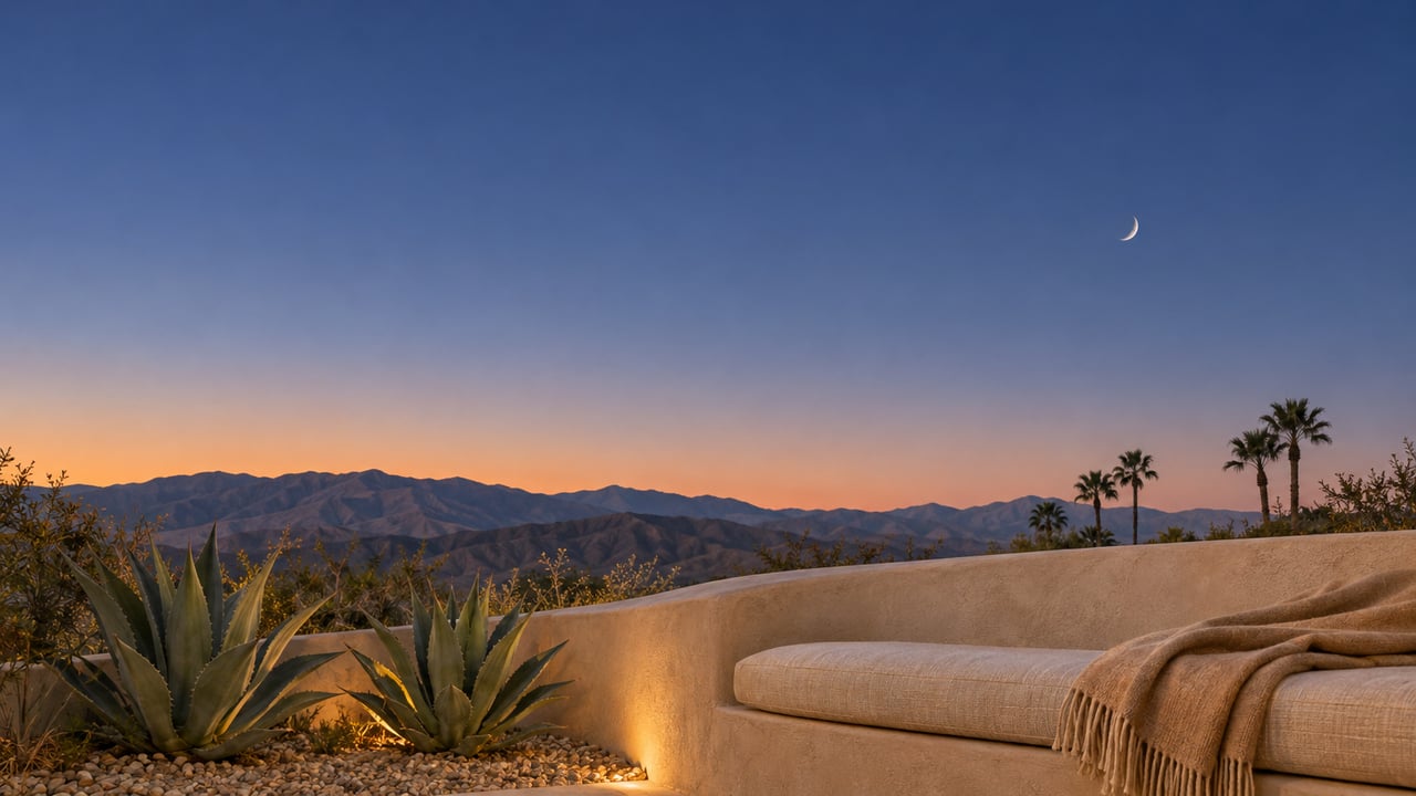
The timing lines up with something else worth knowing if you're new to the desert's overnight sky. La Quinta's own ordinance keeps residential streets dim enough that the sky over the Cove still shows real depth after dark. It's part of why an organized night hike out of this particular lot works as well as it does. Away from the ambient glow, the Full Moon Hike delivers a sky that's hard to find in most Southern California suburbs.
A simple rule for anyone still sorting this out
If you only remember one thing from this, remember it this way: pavement means the Nature Trail, and "Oasis" in the name means neither pavement nor dogs. That single distinction resolves most of the confusion before it starts.
A few other things worth knowing before you head out:
- The Top of the Cove parking lot at Calle Tecate and Avenida Bermudas is the meeting point for the Full Moon Hike and Night Sky programs, and it's also where the Oasis Trail effectively begins its climb.
- The Nature Trail's other access point sits near Eisenhower Drive and Calle Tampico, useful if you'd rather start from the north end and avoid the Cove's more crowded southern streets.
- If you're bringing a dog, plan around the paved Nature Trail only. Neither the Oasis Trail nor the Full Moon Hike permits pets on the route.
- Water needs scale with the trail, not the season. Even in the cooler months, the Oasis Trail's lack of shade until the final stretch means more water than a shorter hike would require.
None of this changes what makes the Cove worth living in, the mountains at your back door, a trail system that rewards a five-minute walk as much as a five-hour one, and a nonprofit that keeps both accessible without a membership fee. It just means the name on the trailhead sign deserves a second look before you commit to a route.
Whether you're settling into a longer stretch of Cove living or still learning which corner leads where, that kind of local detail is what turns a neighborhood from an address into a place you actually know. Gendron Properties spends as much time tracking the small, specific facts about this valley as the market data, because the two tend to matter to the same people. If a question about the Cove, or anywhere else in the Coachella Valley, ever turns into a real estate question, that's a conversation worth having. Your next chapter starts here.